Flooding in Stebbins
This isn't going to make national news (barely state news), but here in our own corner of the country we are having our own flooding. It all started a couple days ago when the radio stations out of Nome started reporting that a huge weather front was on its way. I noticed some extra activity around town, but didn't really think too much about it until someone said that some of the old people were being evacuated to St. Michael. After school I decided to take a walk.

Above: I immediately noticed the coastal road had been built up at least two feet, and lots of rocks had been placed to break waves. It was to act kind of like a levy.
Below: I also noticed the wind. It was incredible. Below is a shot of a breaking wave. Look at how far the spray is being blown. The wind was blowing hard enough to knock you over if you weren't careful.


Above: At some point during the night, the wind blew the water high enough to break the levy in several places on the south side of town. This picture is one of those holes. That water is on the town side of the levy, and all the water you see is not normally there.
This morning I went to work and was surprised to see people from town sleeping in the school. There were several houses flooded last night, and many families came to the school in the middle of the night for safety.
School was postponed until 10:00, which gave Nick, Janna, and I time to drive around and check out the situation.

Above: This is a bad picture, but shows one of two spots where the main road to St. Michael washed out. When I took this picture I was outside of town looking back into town. The ocean is on the other side of town. There are some marshes in this spot, but never this much water.
Below: This is on the north side of town where buildings received the most water damage. The ocean is to the left. The water had receded quite a bit by the time we arrived, but you can see the pools left behind and imagine what it was like last night.


Above: Yesterday these logs weren't here. This ground is level with much of the town.
Below: I have several students who live here. Notice the pink blob in the middle of the shot, that's a rotting walrus carcass. Kids were laughing about it today at school. They said that it smelled really bad. I would think so.

Below: Town is on the right. The ocean is to the right outside of the picture, and in the upper right far horizon. All the water you see is from the flood. The thin line in the middle of all the water is the airport runway.

By the time school got out, things had really cleared up. The wind had died down, and the sun even came out to help dry us.

Above: Here's a picture of town from on top of "The Bluff." All the water to the left is not normally there. The ocean is to the right in in the far horizon.
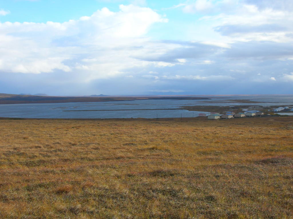
Below: The thin line in the middle of the water is the airport runway again. All that water is not normally there.

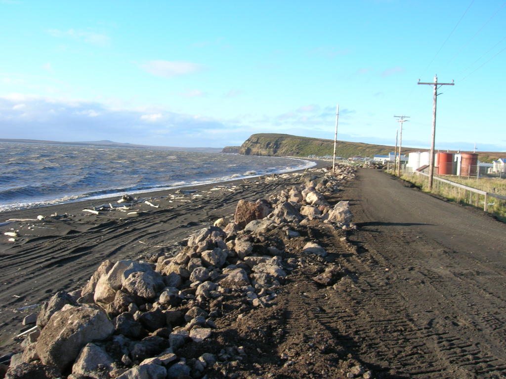
Above: I immediately noticed the coastal road had been built up at least two feet, and lots of rocks had been placed to break waves. It was to act kind of like a levy.
Below: I also noticed the wind. It was incredible. Below is a shot of a breaking wave. Look at how far the spray is being blown. The wind was blowing hard enough to knock you over if you weren't careful.

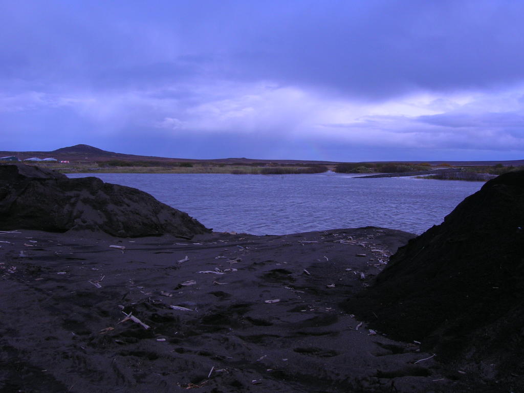
Above: At some point during the night, the wind blew the water high enough to break the levy in several places on the south side of town. This picture is one of those holes. That water is on the town side of the levy, and all the water you see is not normally there.
This morning I went to work and was surprised to see people from town sleeping in the school. There were several houses flooded last night, and many families came to the school in the middle of the night for safety.
School was postponed until 10:00, which gave Nick, Janna, and I time to drive around and check out the situation.

Above: This is a bad picture, but shows one of two spots where the main road to St. Michael washed out. When I took this picture I was outside of town looking back into town. The ocean is on the other side of town. There are some marshes in this spot, but never this much water.
Below: This is on the north side of town where buildings received the most water damage. The ocean is to the left. The water had receded quite a bit by the time we arrived, but you can see the pools left behind and imagine what it was like last night.

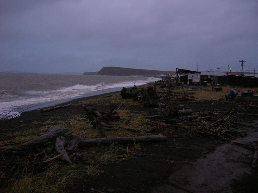
Above: Yesterday these logs weren't here. This ground is level with much of the town.
Below: I have several students who live here. Notice the pink blob in the middle of the shot, that's a rotting walrus carcass. Kids were laughing about it today at school. They said that it smelled really bad. I would think so.
Below: Town is on the right. The ocean is to the right outside of the picture, and in the upper right far horizon. All the water you see is from the flood. The thin line in the middle of all the water is the airport runway.

By the time school got out, things had really cleared up. The wind had died down, and the sun even came out to help dry us.
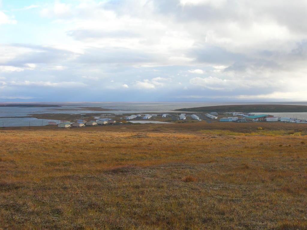
Above: Here's a picture of town from on top of "The Bluff." All the water to the left is not normally there. The ocean is to the right in in the far horizon.
Below: The thin line in the middle of the water is the airport runway again. All that water is not normally there.
